
Products
UWV
Entopizo offers an unmanned water vehicle tracker for autonomous watercraft and drone boats, with precise positioning, our own SIM card and live tracking throug
An unmanned water vehicle tracker is built for autonomous or remotely operated craft that need accurate, continuous position reporting without a crew on board to check on them. This category is for operators of survey drones, autonomous watercraft, remotely piloted work boats and similar unmanned platforms used on lakes, harbors, and coastal waters in Greece.
Unlike a manned boat, a UWV typically cannot be visually monitored at all times, so the quality and frequency of position reporting matters more. The models listed here include options built for accuracy and dead reckoning, along with compact and waterproof-capable trackers, all running on our SIM cards and tracking platform on a subscription.
Products
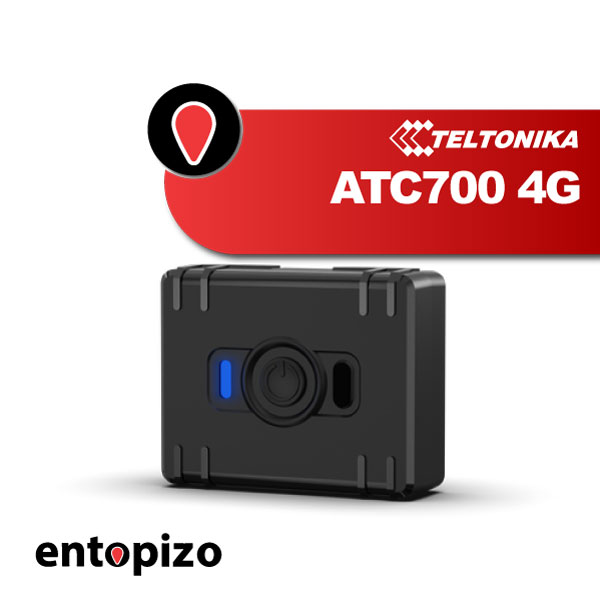 Teltonika ATC700 4G | GPS TrackerThe Teltonika ATC700 is a portable mini GPS/asset tracker featuring 4G LTE Cat 1 connectivity…109.00 EUR incl. VAT87.90 EUR excl. VAT
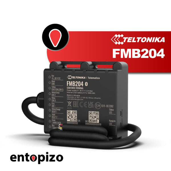 Teltonika FMB204 | GPS Tracker for Scooters and BoatsThe Teltonika FMB204 is a durable, waterproof GPS tracker ideal for motorcycles, boats, ATVs…69.01 EUR incl. VAT55.65 EUR excl. VAT
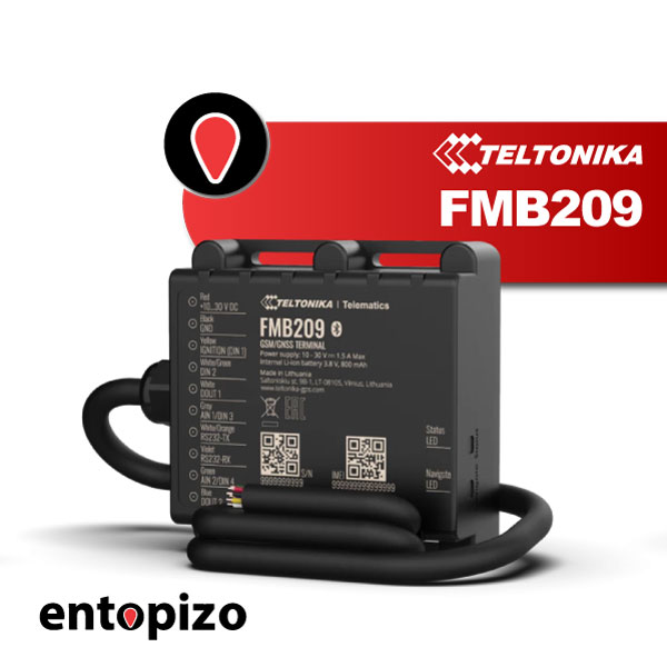 Teltonika FMB209 | Vehicle GPS TrackerMOISTURE RESISTANCE ✔✔✔✔ BATTERY LIFE AUTONOMY ✔✔✔✔ POSITION ACCURACY ✔✔✔✔ EASE OF CONNECTION…66.01 EUR incl. VAT53.23 EUR excl. VAT
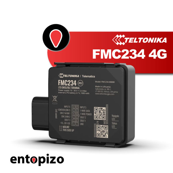 Teltonika FMC234 | Waterproof GPS Tracker 4GMOISTURE RESISTANCE ✔✔✔✔ BATTERY AUTONOMY ✔✔✔✔ POSITION ACCURACY ✔✔✔✔ EASE OF INSTALLATION ✔…111.60 EUR incl. VAT90.00 EUR excl. VAT
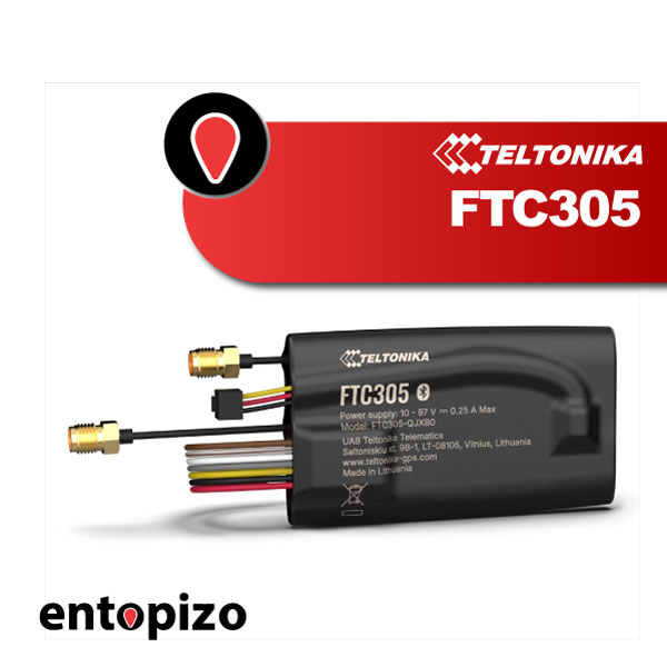 Teltonika FTC305 4G | For e-scootersMOISTURE RESISTANCE ✔ BATTERY AUTONOMY ✔✔✔✔ POSITION ACCURACY ✔✔✔✔✔ EASE OF CONNECTION ✔…156.13 EUR incl. VAT125.91 EUR excl. VAT
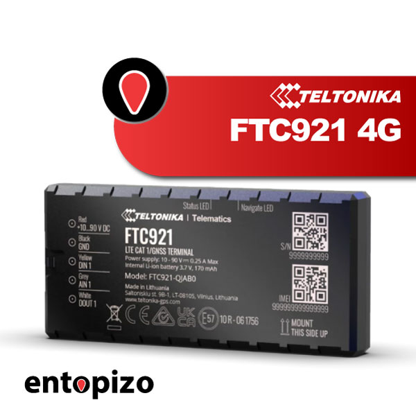 Teltonika FTC921 4G | Maximum accurancy GPS tracker65.00 EUR incl. VAT52.42 EUR excl. VAT
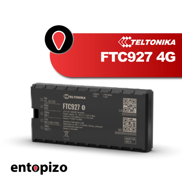 Teltonika FTC927 4G | GPS Tracker with Dead ReckoningThe Teltonika FTC927 is a 4G LTE Cat 1 vehicle GPS tracker with enhanced GNSS accuracy…109.00 EUR incl. VAT87.90 EUR excl. VAT
Why unmanned watercraft need dedicated tracking
An unmanned water vehicle has no operator aboard to call for help or confirm its position visually, so a uwv gps tracker is often the only real-time source of location data once the craft is deployed. Loss of line of sight, radio range limits, or a mechanical fault can leave a drone boat drifting with no one aware of where it ended up. A tracking device that reports independently of the vehicle's own control and navigation system acts as a recovery and safety layer.
Operators running survey missions, hull inspections, or autonomous patrol routes also use tracking data to confirm the craft actually followed its planned path, which matters for mission verification as much as for recovery.
How to choose a tracker for autonomous watercraft
Because unmanned craft are often smaller, battery-powered, and move through areas with variable obstructions, accuracy and reporting method matter more than on a large manned vessel. Points to consider:
- Positioning accuracy, important when the craft operates near obstacles, moorings, or other vessels
- Dead reckoning capability, which keeps estimating position briefly if GPS signal is lost, relevant for hulls that sit low in the water or craft that pass under structures
- Compact size and power draw, since many unmanned platforms have limited space and battery budget
- 4G connectivity for consistent reporting near the coast and in harbors
The Teltonika FTC921 4G is built for maximum accuracy, a relevant choice when precise positioning of the craft matters for mission data or recovery. The Teltonika FTC927 4G adds dead reckoning, useful when GPS signal briefly drops. The Teltonika FMC234 offers waterproof 4G tracking for smaller unmanned hulls, and the Teltonika FTC305 4G, built for e-scooters, suits very compact or lightweight craft where size and power draw are tightly constrained.
Installation and the subscription
Installation on an unmanned craft usually means integrating the tracker with the onboard power supply and finding a mounting point that keeps GPS and GSM antennas clear of hull material or other electronics that could interfere with reception. Our team can advise on placement based on the hull and equipment layout.
The subscription covers our SIM card, data connectivity, access to the tracking platform and mobile apps, and alert configuration such as geofence boundaries or loss-of-signal notifications. A drone boat tracker bought without a subscription has the GPS and GSM hardware but no active SIM, no platform to view positions on, and no alerting, which means it cannot actually report anything once deployed. Our subscription is what makes the hardware function as a tracking system, including position history and configurable alerts.
Real use cases
A survey company running autonomous watercraft tracking uses the device to log the exact path taken during a hydrographic or inspection run, cross-checking it against planned waypoints. A harbor operator running a small unmanned patrol or monitoring craft uses geofence alerts to know immediately if the vehicle drifts outside its working area. A research team recovering a test platform after a mission relies on the tracker's last known position when onboard communication has failed.
Frequently asked questions
Does an unmanned water vehicle tracker work without GPS signal?
Models with dead reckoning, such as the Teltonika FTC927 4G, can estimate position for a short period when GPS signal is lost, which helps in areas with temporary obstruction.
Can the tracker be integrated with the craft's own control system?
The tracker operates independently for position reporting through our platform; integration with a vehicle's navigation or control system is a separate matter handled case by case during installation.
How often does the tracker report position?
Reporting frequency is configurable through our platform, and can be set according to the needs of the mission and the battery budget of the craft.
What happens without an active subscription?
Without a subscription the SIM card has no active data connection, so the tracker cannot send position data to the platform, regardless of the hardware installed on the craft.